
Bassett topographic map
Interactive map
Click on the map to display elevation.
About this map
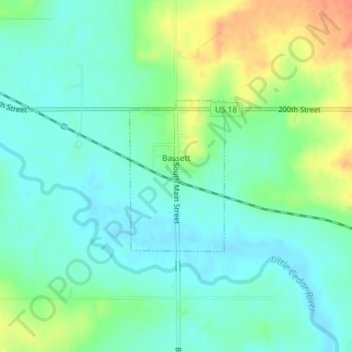
Name: Bassett topographic map, elevation, terrain.
Location: Bassett, Chickasaw County, Iowa, United States (43.05584 -92.52037 43.06745 -92.51041)
Average elevation: 320 m
Minimum elevation: 304 m
Maximum elevation: 352 m
Other topographic maps
Click on a map to view its topography, its elevation and its terrain.
Alta Vista
United States > Iowa > Chickasaw County
Alta Vista, Chickasaw County, Iowa, United States
Average elevation: 360 m