
Porto Salvo topographic map
Interactive map
Click on the map to display elevation.
About this map
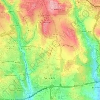
Name: Porto Salvo topographic map, elevation, terrain.
Location: Porto Salvo, Oeiras, Lisboa, Portugal (38.70775 -9.32303 38.75111 -9.28279)
Average elevation: 103 m
Minimum elevation: 12 m
Maximum elevation: 191 m