
Halenbeck-Rohlsdorf topographic map
Interactive map
Click on the map to display elevation.
About this map
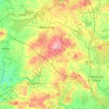
Name: Halenbeck-Rohlsdorf topographic map, elevation, terrain.
Location: Halenbeck-Rohlsdorf, Prignitz, Brandenburg, Germany (53.07330 12.12000 53.39330 12.44000)
Average elevation: 80 m
Minimum elevation: 38 m
Maximum elevation: 153 m
Other topographic maps
Click on a map to view its topography, its elevation and its terrain.