
Moharli topographic map
Interactive map
Click on the map to display elevation.
About this map
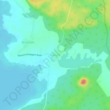
Name: Moharli topographic map, elevation, terrain.
Location: Moharli, Chandrapur, Chandrapur District, Maharashtra, India (20.16863 79.31381 20.20863 79.35381)
Average elevation: 220 m
Minimum elevation: 204 m
Maximum elevation: 272 m