
Ban Kaeng Sarawat topographic map
Interactive map
Click on the map to display elevation.
About this map
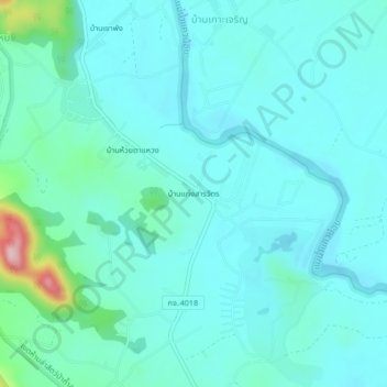
Name: Ban Kaeng Sarawat topographic map, elevation, terrain.
Location: Ban Kaeng Sarawat, Kanchanaburi Province, Thailand (14.17417 99.04025 14.21417 99.08025)
Average elevation: 77 m
Minimum elevation: 41 m
Maximum elevation: 280 m