
Pindolonan topographic map
Interactive map
Click on the map to display elevation.
About this map
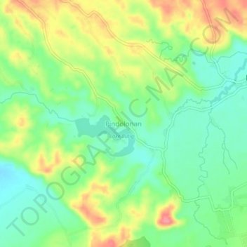
Name: Pindolonan topographic map, elevation, terrain.
Location: Pindolonan, Lanao del Sur, Bangsamoro, Philippines (7.71620 124.27162 7.75620 124.31162)
Average elevation: 781 m
Minimum elevation: 745 m
Maximum elevation: 833 m