
Honalli topographic map
Interactive map
Click on the map to display elevation.
About this map
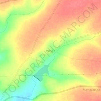
Name: Honalli topographic map, elevation, terrain.
Location: Honalli, Alanda taluku, Kalaburagi District, Karnataka, India (17.57033 76.58085 17.61033 76.62085)
Average elevation: 540 m
Minimum elevation: 499 m
Maximum elevation: 564 m
Other topographic maps
Click on a map to view its topography, its elevation and its terrain.