
Valrraboso topographic map
Interactive map
Click on the map to display elevation.
About this map
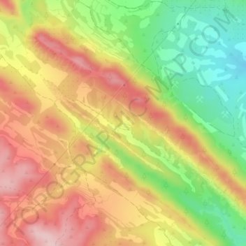
Name: Valrraboso topographic map, elevation, terrain.
Average elevation: 698 m
Minimum elevation: 581 m
Maximum elevation: 798 m
Other topographic maps
Click on a map to view its topography, its elevation and its terrain.
Albarizas
España > Aragón > Andorra-Sierra de Arcos > Oliete
Albarizas, Oliete, Andorra-Sierra de Arcos, Teruel, Aragón, España
Average elevation: 575 m