
Buenaventura topographic map
Interactive map
Click on the map to display elevation.
About this map
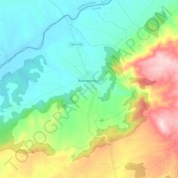
Name: Buenaventura topographic map, elevation, terrain.
Location: Buenaventura, Toledo, Castile-La Mancha, 45634, Spain (40.14069 -4.92468 40.20519 -4.82349)
Average elevation: 517 m
Minimum elevation: 385 m
Maximum elevation: 780 m
Other topographic maps
Click on a map to view its topography, its elevation and its terrain.