Geolocate

Carum topographic map

Click on the map to display elevation.

About this map
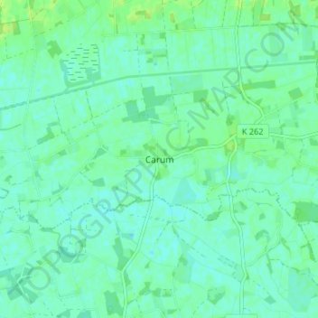
Name: Carum topographic map, elevation, terrain.

Location: Carum, Bakum, Landkreis Vechta, Lower Saxony, 49413, Germany (52.68625 8.08915 52.72625 8.12915)

Average elevation: 28 m

Minimum elevation: 23 m

Maximum elevation: 35 m

Gear up for your next adventure:

🔥Reusable Hand Warmers - Maintain dexterity in your fingers for precise map handling
🛑Emergency Bivvy Bags - Heat-reflective survival bags for unexpected nights out
🌦️Portable Weather Meters - Handheld tools for monitoring weather conditions
🌂Windproof Trekking Umbrellas - Surprising but effective rain protection on low-wind trails
🥾Hiking Boots - Waterproof and durable boots for long-distance hiking in the UK

As an Amazon Associate, this site earns from qualifying purchases at no extra cost to you.