
El Seriha topographic map
Interactive map
Click on the map to display elevation.
About this map
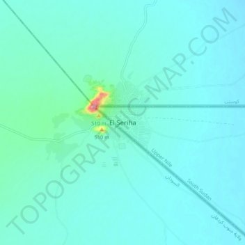
Name: El Seriha topographic map, elevation, terrain.
Location: El Seriha, Upper Nile, South Sudan (11.90571 32.06631 11.98571 32.14631)
Average elevation: 437 m
Minimum elevation: 421 m
Maximum elevation: 569 m