Geolocate

Umrapur topographic map

Click on the map to display elevation.

About this map

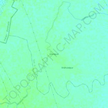
Name: Umrapur topographic map, elevation, terrain.

Location: Umrapur, Suti - II, Murshidabad, West Bengal, 731222, India (24.56026 87.90843 24.60026 87.94843)

Average elevation: 22 m

Minimum elevation: 18 m

Maximum elevation: 26 m

Gear up for your next adventure:

🛑Emergency Bivvy Bags - Heat-reflective survival bags for unexpected nights out
Insulated Travel Mugs - Keep drinks hot while surveying the landscape from a summit
👕Merino Base Layers - Natural temperature regulation for cold weather hiking and camping
🛌Sleeping Mats - Insulated mats for comfortable outdoor sleeping
🖼️Topographic Map Art - Decorative 3D-effect posters of famous UK peaks and regions

As an Amazon Associate, this site earns from qualifying purchases at no extra cost to you.