
Gingins topographic map
Interactive map
Click on the map to display elevation.
About this map
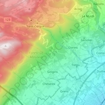
Name: Gingins topographic map, elevation, terrain.
Location: Gingins, District de Nyon, Vaud, 1276, Switzerland (46.40248 6.07458 46.44745 6.19682)
Average elevation: 773 m
Minimum elevation: 403 m
Maximum elevation: 1,529 m