
Sangar topographic map
Interactive map
Click on the map to display elevation.
About this map
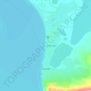
Name: Sangar topographic map, elevation, terrain.
Average elevation: 68 m
Minimum elevation: 58 m
Maximum elevation: 177 m
Other topographic maps
Click on a map to view its topography, its elevation and its terrain.
Чагда
Russia > Sakha Republic > Kobyaysky Ulus > Чагда
Чагда, Нижилинский наслег, Kobyaysky Ulus, Sakha Republic, Far Eastern Federal District, Russia
Average elevation: 153 m