
Newell topographic map
Interactive map
Click on the map to display elevation.
About this map
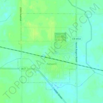
Name: Newell topographic map, elevation, terrain.
Location: Newell, Buena Vista County, Iowa, United States (42.59878 -95.01463 42.61883 -94.99370)
Average elevation: 384 m
Minimum elevation: 378 m
Maximum elevation: 391 m
Other topographic maps
Click on a map to view its topography, its elevation and its terrain.