
Rocheux topographic map
Interactive map
Click on the map to display elevation.
About this map
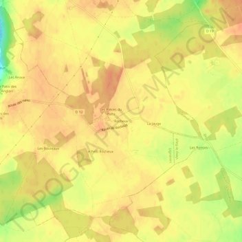
Name: Rocheux topographic map, elevation, terrain.
Average elevation: 142 m
Minimum elevation: 113 m
Maximum elevation: 152 m
Other topographic maps
Click on a map to view its topography, its elevation and its terrain.
Baigneux
France > Centre-Val de Loire > Loir-et-Cher > Lignières
Baigneux, Lignières, Vendôme, Loir-et-Cher, Centre-Val de Loire, France métropolitaine, 41160, France
Average elevation: 108 m