
Staudenhof topographic map
Interactive map
Click on the map to display elevation.
About this map
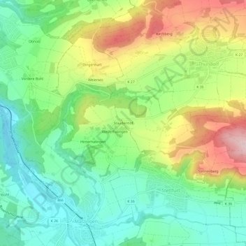
Name: Staudenhof topographic map, elevation, terrain.
Location: Staudenhof, Stettfurt, Bezirk Frauenfeld, Thurgau, 9507, Schweiz (47.51596 8.92305 47.55596 8.96305)
Average elevation: 530 m
Minimum elevation: 426 m
Maximum elevation: 701 m