
Сакалішчанскі сельскі Савет topographic map
Interactive map
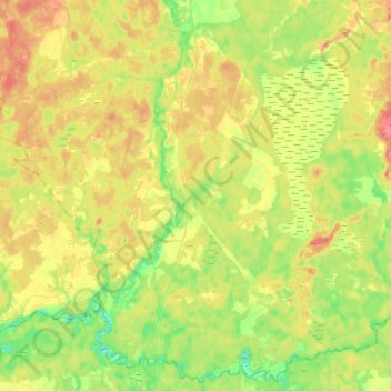
Click on the map to display elevation.
About this map
Name: Сакалішчанскі сельскі Савет topographic map, elevation, terrain.
Average elevation: 136 m
Minimum elevation: 110 m
Maximum elevation: 166 m
Other topographic maps
Click on a map to view its topography, its elevation and its terrain.
Клясціцы
Belarus > Vitsebsk Region > Rasony District > Клясціцкі сельскі Савет
Average elevation: 136 m