
Arato topographic map
Interactive map
Click on the map to display elevation.
About this map
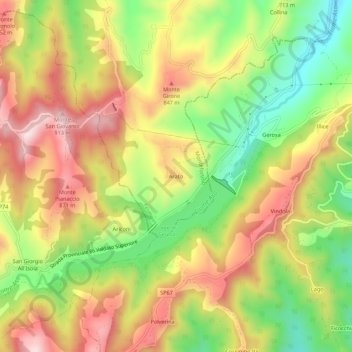
Name: Arato topographic map, elevation, terrain.
Location: Arato, Montefortino, Fermo, Marches, Italie (42.87709 13.35827 42.91709 13.39827)
Average elevation: 722 m
Minimum elevation: 529 m
Maximum elevation: 907 m