
Runa topographic map
Interactive map
Click on the map to display elevation.
About this map
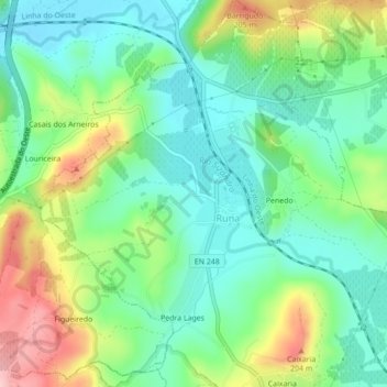
Name: Runa topographic map, elevation, terrain.
Location: Runa, Dois Portos e Runa, Torres Vedras, Lisbon, Portugal (39.05103 -9.22918 39.08474 -9.18971)
Average elevation: 105 m
Minimum elevation: 42 m
Maximum elevation: 232 m