
Khinsar topographic map
Interactive map
Click on the map to display elevation.
About this map
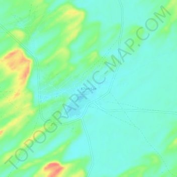
Name: Khinsar topographic map, elevation, terrain.
Location: Khinsar, Dali, Tharparkar District, Sindh, 67321, Pakistan (25.35145 70.45818 25.39145 70.49818)
Average elevation: 122 m
Minimum elevation: 105 m
Maximum elevation: 166 m