
Nam Ha topographic map
Interactive map
Click on the map to display elevation.
About this map
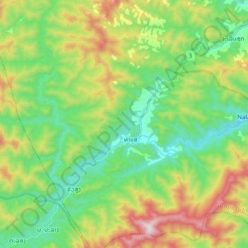
Name: Nam Ha topographic map, elevation, terrain.
Location: Nam Ha, Luang Namtha, Namtha District, Luang Namtha, Laos (20.80338 101.23152 20.86756 101.36603)
Average elevation: 874 m
Minimum elevation: 571 m
Maximum elevation: 1,473 m