
Manjung topographic map
Interactive map
Click on the map to display elevation.
About this map
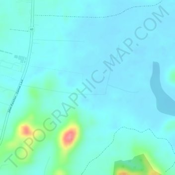
Name: Manjung topographic map, elevation, terrain.
Location: Manjung, Perak, Malaysia (4.33471 100.63422 4.33481 100.63432)
Average elevation: 16 m
Minimum elevation: -1 m
Maximum elevation: 98 m