
Jaunlaicene topographic map
Interactive map
Click on the map to display elevation.
About this map
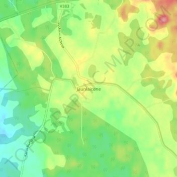
Name: Jaunlaicene topographic map, elevation, terrain.
Location: Jaunlaicene, Alūksnes novads, Vidzeme, Latvia (57.50649 26.85233 57.54649 26.89233)
Average elevation: 164 m
Minimum elevation: 124 m
Maximum elevation: 223 m