
Davison topographic map
Click on the map to display elevation.
About this map
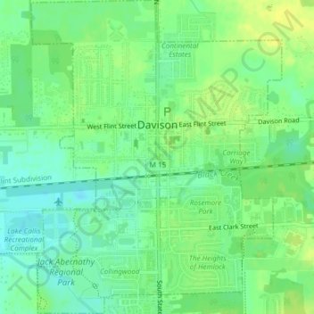
Name: Davison topographic map, elevation, terrain.
Location: Davison, Genesee County, Michigan, 48423, United States (43.01825 -83.53309 43.04555 -83.50322)
Average elevation: 243 m
Minimum elevation: 233 m
Maximum elevation: 251 m
Other topographic maps
Click on a map to view its topography, its elevation and its terrain.
Genessee County Recreational Area
United States > Michigan > Genesee County > Genesee Charter Township
Average elevation: 231 m