
Sainte-Anne-de-la-Rochelle topographic map
Interactive map
Click on the map to display elevation.
About this map
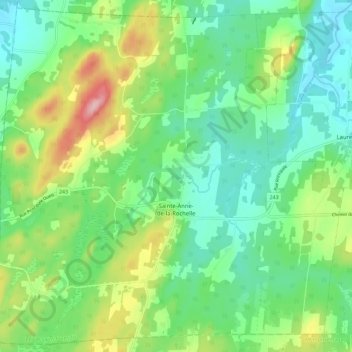
Name: Sainte-Anne-de-la-Rochelle topographic map, elevation, terrain.
Average elevation: 252 m
Minimum elevation: 196 m
Maximum elevation: 375 m