
Waya-ri topographic map
Interactive map
Click on the map to display elevation.
About this map
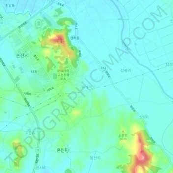
Name: Waya-ri topographic map, elevation, terrain.
Location: Waya-ri, Nonsan-si, South Chungcheong, 32998, South Korea (36.15950 127.09724 36.19950 127.13724)
Average elevation: 24 m
Minimum elevation: 4 m
Maximum elevation: 103 m