
Masouleh topographic map
Interactive map
Click on the map to display elevation.
About this map
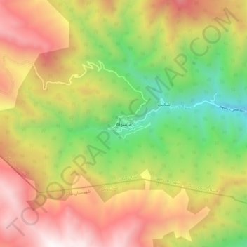
Name: Masouleh topographic map, elevation, terrain.
Location: Masouleh, بخش سردارجنگل, شهرستان فومن, Gilan, Iran (37.11513 48.94997 37.19513 49.02997)
Average elevation: 1,653 m
Minimum elevation: 591 m
Maximum elevation: 2,779 m