
曼歇坝枢纽 topographic map
Interactive map
Click on the map to display elevation.
About this map
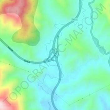
Name: 曼歇坝枢纽 topographic map, elevation, terrain.
Location: 曼歇坝枢纽, 南屏镇, 思茅区, 普洱市, 云南省, 665000, 中国 (22.67614 100.91980 22.69614 100.93980)
Average elevation: 1,170 m
Minimum elevation: 1,069 m
Maximum elevation: 1,421 m
Other topographic maps
Click on a map to view its topography, its elevation and its terrain.