
Phlio topographic map
Interactive map
Click on the map to display elevation.
About this map
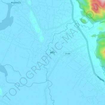
Name: Phlio topographic map, elevation, terrain.
Location: Phlio, Kwian Hak, Chanthaburi Province, Thailand (12.46434 102.10178 12.54434 102.18178)
Average elevation: 18 m
Minimum elevation: -1 m
Maximum elevation: 455 m
Other topographic maps
Click on a map to view its topography, its elevation and its terrain.