
Bugono B topographic map
Interactive map
Click on the map to display elevation.
About this map
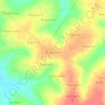
Name: Bugono B topographic map, elevation, terrain.
Location: Bugono B, Iganga, Eastern Region, Uganda (0.77567 33.43612 0.81567 33.47612)
Average elevation: 1,108 m
Minimum elevation: 1,073 m
Maximum elevation: 1,136 m