
Morda topographic map
Interactive map
Click on the map to display elevation.
About this map
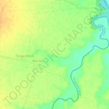
Name: Morda topographic map, elevation, terrain.
Location: Morda, Ratlam Tahsil, Ratlam District, Madhya Pradesh, India (23.43660 75.13782 23.46623 75.17530)
Average elevation: 472 m
Minimum elevation: 455 m
Maximum elevation: 483 m