
Nieuport topographic map
Interactive map
Click on the map to display elevation.
About this map
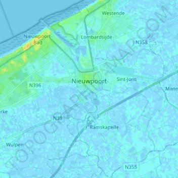
Name: Nieuport topographic map, elevation, terrain.
Location: Nieuport, Furnes, Flandre-Occidentale, Flandre, 8620, Belgique (51.08672 2.69981 51.16486 2.82491)
Average elevation: 1 m
Minimum elevation: -3 m
Maximum elevation: 21 m
Other topographic maps
Click on a map to view its topography, its elevation and its terrain.
Coxyde-les-Bains
Belgique > Flandre-Occidentale > Furnes > Coxyde > Coxyde-les-Bains
Coxyde-les-Bains, Coxyde, Furnes, Flandre-Occidentale, 8670, Belgique
Average elevation: 4 m