
Bukazi topographic map
Interactive map
Click on the map to display elevation.
About this map
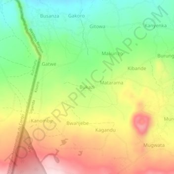
Name: Bukazi topographic map, elevation, terrain.
Location: Bukazi, Kisoro, Western Region, Uganda (-1.34517 29.59882 -1.30517 29.63882)
Average elevation: 2,104 m
Minimum elevation: 1,946 m
Maximum elevation: 2,289 m