
Muradnagar topographic map
Interactive map
Click on the map to display elevation.
About this map
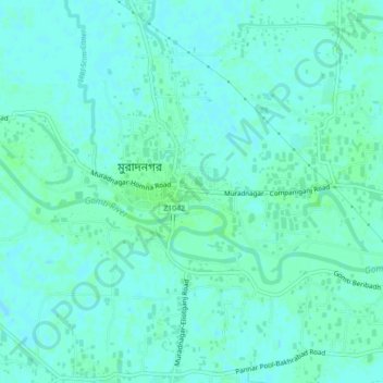
Name: Muradnagar topographic map, elevation, terrain.
Location: Muradnagar, কুমিল্লা জেলা, Chittagong, 3540, Bangladés (23.61850 90.91250 23.65850 90.95250)
Average elevation: 7 m
Minimum elevation: 4 m
Maximum elevation: 10 m