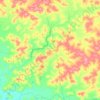
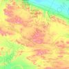
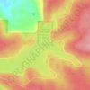
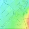
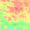
Hamersley Range topographic map
Click on the map to display elevation.
About this map

Name: Hamersley Range topographic map, elevation, terrain.
Location: Hamersley Range, Western Australia, Australia (-21.87293 116.79331 -21.87283 116.79341)
Average elevation: 511 m
Minimum elevation: 366 m
Maximum elevation: 657 m
Other topographic maps
Click on a map to view its topography, its elevation and its terrain.

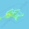





Mount Melville
Australia > Western Australia > Albany
The mount has an elevation of 152 metres (499 ft).
Average elevation: 36 m