
Brünen topographic map
Interactive map
Click on the map to display elevation.
About this map
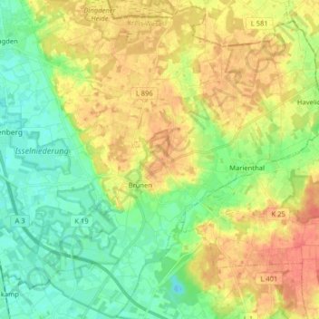
Name: Brünen topographic map, elevation, terrain.
Location: Brünen, Hamminkeln, Kreis Wesel, North Rhine-Westphalia, Germany (51.69069 6.61343 51.77640 6.77285)
Average elevation: 39 m
Minimum elevation: 19 m
Maximum elevation: 62 m