
Ngara topographic map
Interactive map
Click on the map to display elevation.
About this map
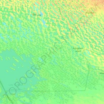
Name: Ngara topographic map, elevation, terrain.
Location: Ngara, Chad (12.91376 14.49068 13.55376 15.13068)
Average elevation: 284 m
Minimum elevation: 276 m
Maximum elevation: 305 m