
Tatari topographic map
Interactive map
Click on the map to display elevation.
About this map
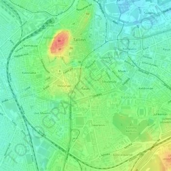
Name: Tatari topographic map, elevation, terrain.
Location: Tatari, Kesklinna linnaosa, Tallinn, Harju maakond, Estonia (59.42714 24.74299 59.43281 24.75431)
Average elevation: 21 m
Minimum elevation: 1 m
Maximum elevation: 58 m