
Kepulauan Mentawai topographic map
Interactive map
Click on the map to display elevation.
About this map
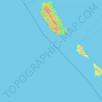
Name: Kepulauan Mentawai topographic map, elevation, terrain.
Location: Kepulauan Mentawai, West Sumatra, Sumatra, Indonesia (-3.49149 98.59642 -0.90592 100.68236)
Average elevation: 4 m
Minimum elevation: 0 m
Maximum elevation: 303 m
Other topographic maps
Click on a map to view its topography, its elevation and its terrain.