Croix Saint-Georges topographic map
Interactive map
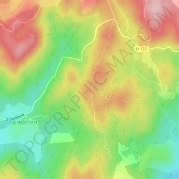
Click on the map to display elevation.
About this map
Name: Croix Saint-Georges topographic map, elevation, terrain.
Average elevation: 793 m
Minimum elevation: 687 m
Maximum elevation: 903 m

Click on the map to display elevation.
Name: Croix Saint-Georges topographic map, elevation, terrain.
Average elevation: 793 m
Minimum elevation: 687 m
Maximum elevation: 903 m