
Gučevo topographic map
Interactive map
Click on the map to display elevation.
Gučevo
Gučevo (Serbian Cyrillic: Гучево, pronounced [ɡûːtʃeʋo]) is a mountain in western Serbia, near the town of Loznica, overlooking the Drina river and Banja Koviljača. Its highest peak Crni vrh has an elevation of 779 meters above sea level.
About this map
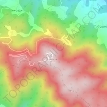
Name: Gučevo topographic map, elevation, terrain.
Average elevation: 526 m
Minimum elevation: 214 m
Maximum elevation: 772 m