
Galešnjak topographic map
Interactive map
Click on the map to display elevation.
About this map
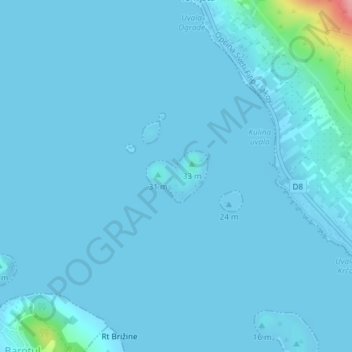
Name: Galešnjak topographic map, elevation, terrain.
Location: Galešnjak, Pašman, Općina Pašman, Zadar County, Croatia (43.97657 15.38006 43.98050 15.38660)
Average elevation: 5 m
Minimum elevation: -3 m
Maximum elevation: 116 m