
Salinas topographic map
Interactive map
Click on the map to display elevation.
About this map
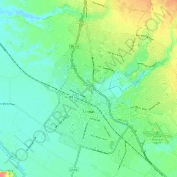
Name: Salinas topographic map, elevation, terrain.
Average elevation: 19 m
Minimum elevation: -2 m
Maximum elevation: 61 m
Other topographic maps
Click on a map to view its topography, its elevation and its terrain.
Ambler Park
Vereinigte Staaten von Amerika > Kalifornien > Monterey County
Ambler Park, Monterey County, Kalifornien, 93908, Vereinigte Staaten von Amerika
Average elevation: 150 m