
Kumgang topographic map
Interactive map
Click on the map to display elevation.
About this map
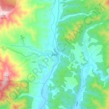
Name: Kumgang topographic map, elevation, terrain.
Location: Kumgang, Kumgang County, Kangwon, North Korea (38.58271 127.94598 38.66271 128.02598)
Average elevation: 631 m
Minimum elevation: 400 m
Maximum elevation: 1,259 m