
Mount Chongdae topographic map
Interactive map
Click on the map to display elevation.
About this map
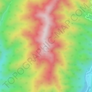
Name: Mount Chongdae topographic map, elevation, terrain.
Location: Mount Chongdae, Kumgang County, Kangwon, North Korea (38.43367 127.95731 38.43377 127.95741)
Average elevation: 698 m
Minimum elevation: 442 m
Maximum elevation: 944 m