
Chenarlier topographic map
Interactive map
Click on the map to display elevation.
About this map
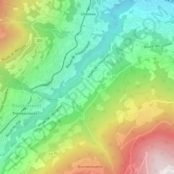
Name: Chenarlier topographic map, elevation, terrain.
Location: Chenarlier, Troistorrents, Monthey, Valais, Suisse (46.22599 6.92092 46.23700 6.93645)
Average elevation: 923 m
Minimum elevation: 508 m
Maximum elevation: 1,600 m