
Thank you for supporting this site ❤️
Make a donation
Make a donation
Gear up for your next adventure:
As an Amazon Associate, this site earns from qualifying purchases at no extra cost to you.
Altamira topographic map
Click on the map to display elevation.
Thank you for supporting this site ❤️
Make a donation
Make a donation
Gear up for your next adventure:
As an Amazon Associate, this site earns from qualifying purchases at no extra cost to you.
About this map
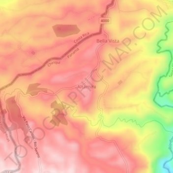
Name: Altamira topographic map, elevation, terrain.
Location: Altamira, Río Sereno, Distrito Renacimiento, Chiriquí, Panamá (8.77284 -82.88957 8.81284 -82.84957)
Average elevation: 950 m
Minimum elevation: 701 m
Maximum elevation: 1,060 m
Thank you for supporting this site ❤️
Make a donation
Make a donation
Gear up for your next adventure:
As an Amazon Associate, this site earns from qualifying purchases at no extra cost to you.