
Strathroy topographic map
Interactive map
Click on the map to display elevation.
About this map
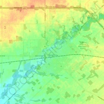
Name: Strathroy topographic map, elevation, terrain.
Location: Strathroy, Middlesex County, Ontario, N7G 1M7, Canada (42.91846 -81.66323 42.99846 -81.58323)
Average elevation: 235 m
Minimum elevation: 216 m
Maximum elevation: 257 m