
Płońsk topographic map
Interactive map
Click on the map to display elevation.
About this map
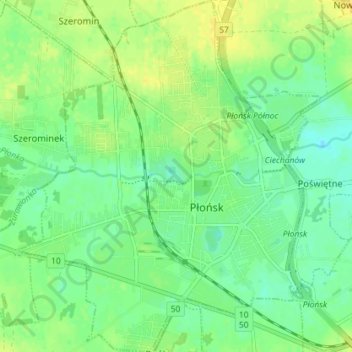
Name: Płońsk topographic map, elevation, terrain.
Location: Płońsk, Płońsk County, Masovian Voivodeship, 09-100, Poland (52.60476 20.33227 52.64819 20.39374)
Average elevation: 103 m
Minimum elevation: 92 m
Maximum elevation: 115 m